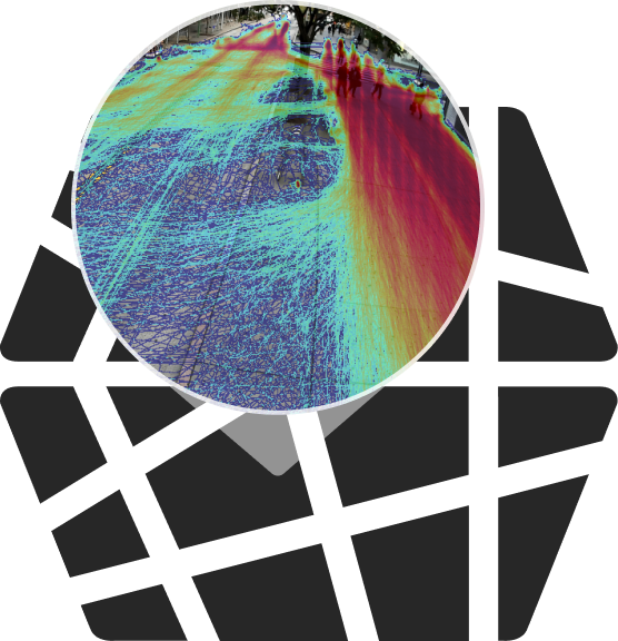
Unprecedented street-level data
Numina’s sensor is purpose-built for streets and easy to deploy.

Deploy one
Numina sensor
To understand granular traffic safety, environmental conditions, and operational metrics in streets.

Deploy a network of
Numina sensors
To build a data utility that turns streets into a developer platform.
Intelligence without surveillance
Numina was designed to protect privacy as a foundational principle. Our sensors use onboard computing to pre-process and then erase imagery, resulting in datasets that are anonymous and secure.

Make informed decisions.
Save lives and money.
City Architecture for Tomorrow Challenge Awards Winners Numina and KERB US$500,000 for Implementation in Kuala Lumpur
City Architecture for Tomorrow Challenge (CATCH) launched in February 2020 with a global call for dynamic and data-driven solutions to address mobility and city planning challenges in Kuala Lumpur. Six finalists developed Minimum Viable Products (MVP) of their innovative solutions including demand responsive transit, smart cameras, synthetic data modeling solution, data fusion platform, and parkingCity Architecture for Tomorrow Challenge Awards Winners Numina and KERB US$500,000 for Implementation in Kuala Lumpur
Numina Awarded as Technology Pioneer by World Economic Forum
The World Economic Forum announced its selection of the 100 most promising Technology Pioneers of 2021 – companies that are shaping industries from healthcare to retail and many more. This year’s cohort includes representation from 26 economies on six continents with reach far beyond traditional tech hubs like Silicon Valley. Numina, which takes a completelyNumina Awarded as Technology Pioneer by World Economic Forum
Defining Accuracy for Street-Level Mobility Data
Numina’s mission is to empower cities with data to become more responsive, so they are safer, healthier, and more equitable for the people who live in them. Our platform provides vital real-time, ground-level intelligence — without surveillance — to help urban planners and municipal governments design better streets and public places. Questions of accuracy, reliability, and privacy are amongDefining Accuracy for Street-Level Mobility Data
Brooklyn Greenway Case Study: Pedestrian and Bicycle Activity in Public Spaces
While Brooklyn may be synonymous with warehouses and brownstones for many, Brooklyn Greenway Initiative (BGI) has a vision of a green, connected waterfront—26 miles for pedestrians and cyclists to move freely across the borough. Given New York City’s growing count of pedestrian and cyclist injuries and deaths in 2019, many of which occurred in Brooklyn,Brooklyn Greenway Case Study: Pedestrian and Bicycle Activity in Public Spaces


